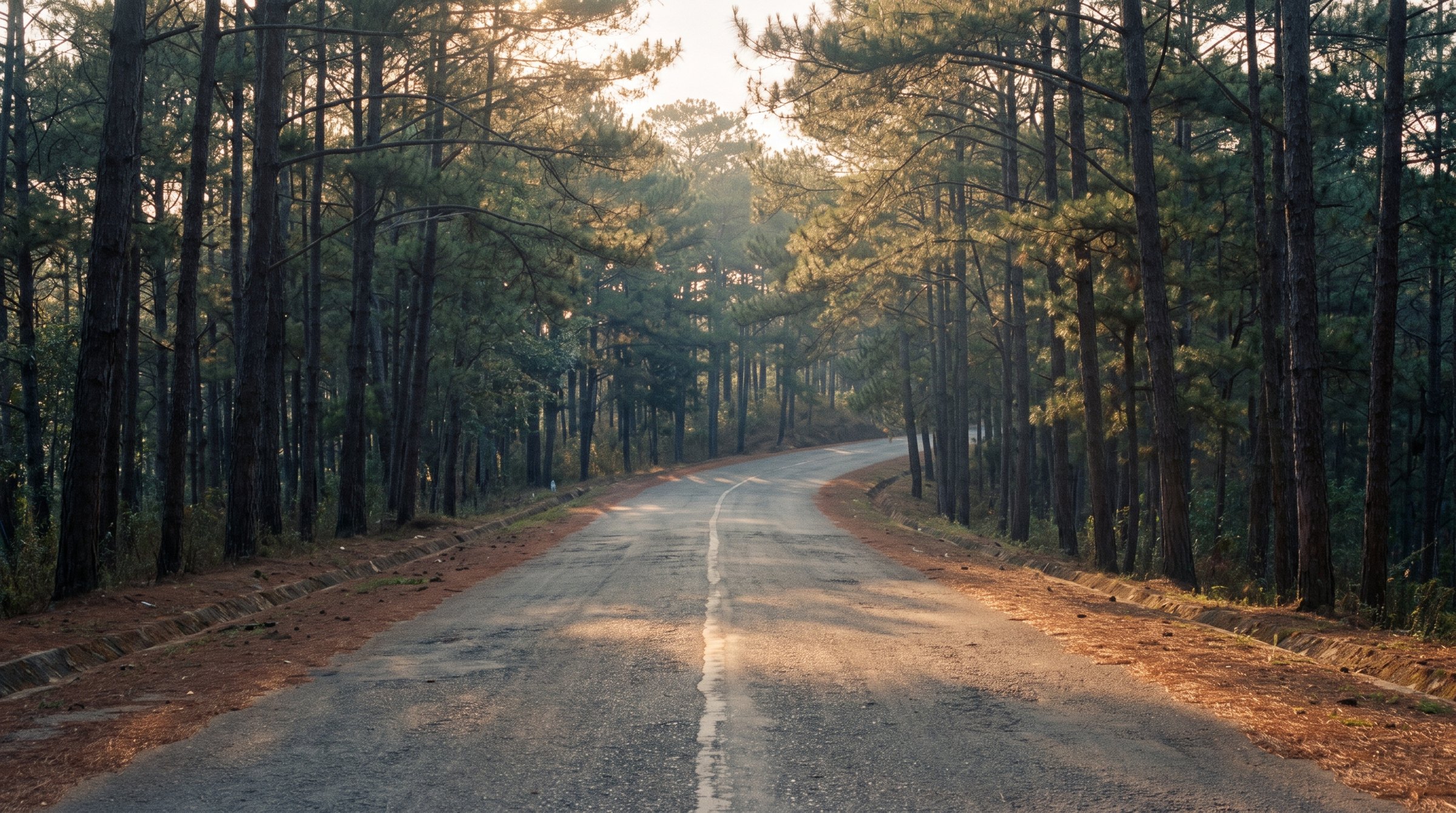
Mimosa Pass
The old two-lane road up into Da Lat from the south: 336 m of climbing over nine kilometres, ending in the city.
9.1 km over the pass
What to ride
Three classes of machine actually rented in Da Lat. Each shows the model offered by the most rental shops - the one you are most likely to find free.



The road covers 335 m between its lowest and highest points. Nothing extreme, but engine size does make itself felt on a road like this.
What the road is like
From the Prenn junction the road climbs for 9 km and gains 336 m to the 1468 m high point. 9.1 km of road cover 5.7 km in a straight line, with not a single turn sharper than 60°.
Measured 2026-09-07 from OpenStreetMap contributors (ODbL) and SRTM elevation data.
Where to stop
Places marked on OpenStreetMap by people who have been there. The numbers match the diagram and the elevation profile above.
- 1Thien Vuong Co Sattemple · 8.7 km from the start of the pass89 m off the road
- 2Chùa Phước Đứctemple · 9.1 km from the start of the pass155 m off the road
Know before you go
The road starts where it meets the four-lane Prenn road and ends inside the city. Its surface is not recorded on the map: treat that as unknown, not as asphalt.
OpenStreetMap tags
When to ride
This is Da Lat weather from bottom to top: rain from May to October, an almost dry January.
Monthly rainfall in mm. September gets 283 mm — 31 times more than January with its 9 mm.
Long-term monthly averages for Da Lat, Vietnam Institute for Building Science and Technology.