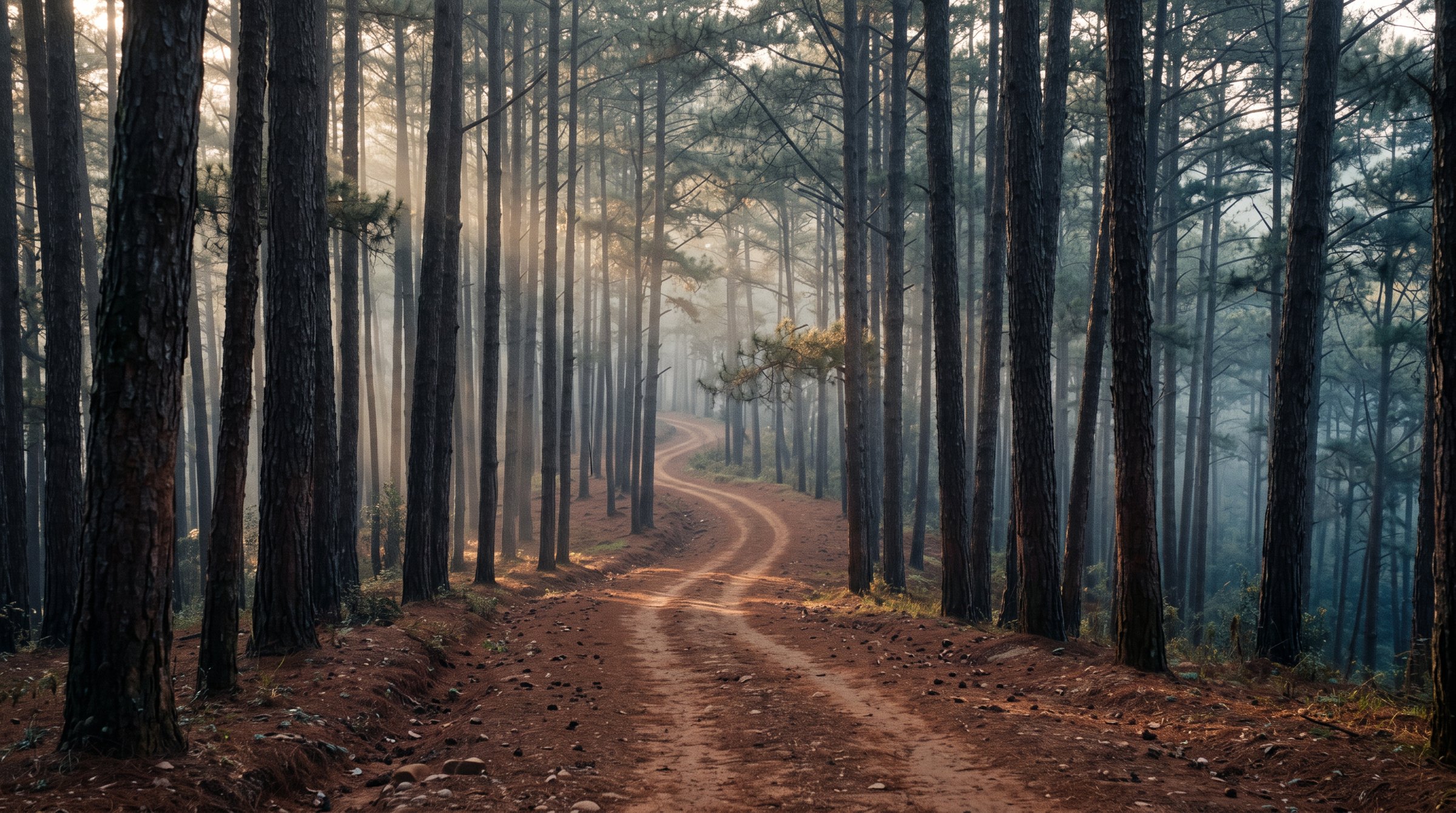
Lang Biang forest tracks
The hills north of Da Lat, laced with hundreds of kilometres of dirt tracks at 1,500 m.
330 km of mapped dirt tracks
What to ride
Three classes of machine actually rented in Da Lat. Each shows the model offered by the most rental shops - the one you are most likely to find free.



What the terrain is like
Not one road but a 170 km² patch of country next to the city. The map records 330 km of dirt tracks inside it and another 40 km of trails. Forest covers 27% of the area. Elevation runs from 1,339 to 2,008 m, with most of the ground around 1,500 m. Which trail to take is the guide's call here, not the map's.
- unpaved256
- surface not tagged106
- dirt4
- gravel2
- dirt1
Measured 2026-09-05 from OpenStreetMap contributors (ODbL) and SRTM elevation data. Kilometres count only what is mapped; the forest holds more unmapped tracks.
What is in the area
Places marked on OpenStreetMap by people who have been there. The numbers match the diagram.
- 1Lang Biang Mountainpeak · 2,167 m
- 2Radar Peakpeak · 1,929 m
- 3cây thông Cô Đơnviewpoint
- 4Da Phu hillpeak · 1,584 m
- 5Valley of Loveviewpoint
Know before you go
These are not roads with names. Nothing here is signposted, and the map holds only part of what exists on the ground - which is why the trails are ridden with a guide, not from a screenshot.
OpenStreetMap coverage of the area
When to ride
Da Lat sits at 1,500 m, and its wet season is shifted against the coast: it rains from May to October, while January is almost dry. On clay tracks that difference is the difference between a ride and a mudbath.
Monthly rainfall in mm. September gets 283 mm — 31 times more than January with its 9 mm.
Long-term monthly averages for Da Lat, Vietnam Institute for Building Science and Technology.