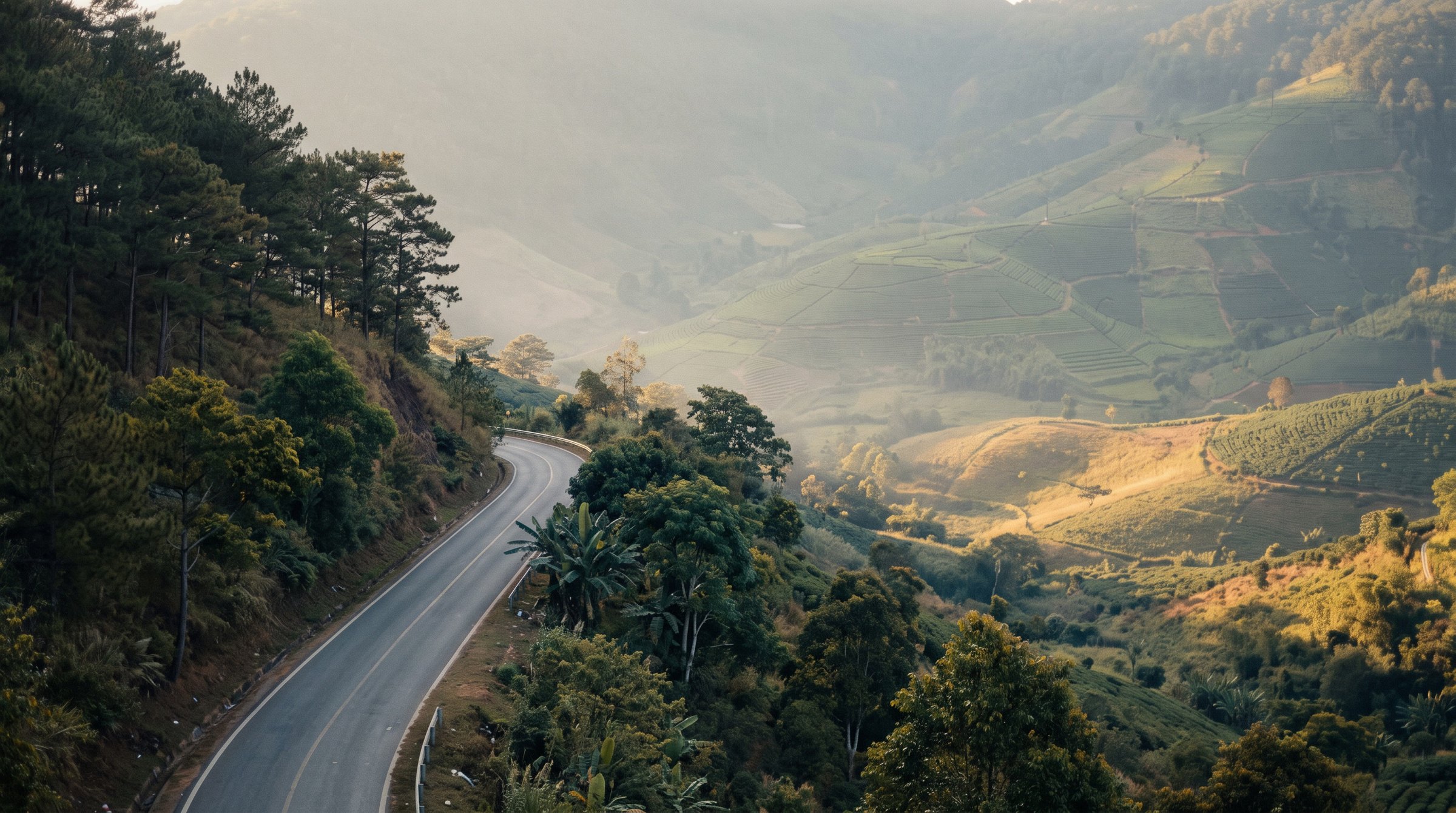
Ta Nung Pass
The road out of Da Lat drops almost five hundred metres into the valley below.
16.5 km down into the valley
What to ride
Three classes of machine actually rented in Da Lat. Each shows the model offered by the most rental shops - the one you are most likely to find free.



The road covers 482 m between its lowest and highest points. Nothing extreme, but engine size does make itself felt on a road like this.
What the road is like
From Da Lat the road only goes down, and its high point — 1493 m — sits almost at the start. In all, 16.5 km of descent and 459 m down, at an average 2.8%. 16.5 km of road cover 11.5 km in a straight line, and 6 turns sharper than 60°.
Measured 2026-09-05 from OpenStreetMap contributors (ODbL) and SRTM elevation data.
Where to stop
Places marked on OpenStreetMap by people who have been there. The numbers match the diagram and the elevation profile above.
- 1Chùa Vạn Dừctemple · 8.3 km from the start of the descent121 m off the road
- 2Vườn Hoa Tam Giác Mạch, Hoa Cảilandmark · 12.3 km from the start of the descent38 m off the road
Know before you go
From Da Lat this road only goes down. The way back is the same climb: allow noticeably more time and fuel for the return than for the descent.
Elevation profile from SRTM data
When to ride
Da Lat sits at 1,500 m, and its wet season is shifted against the coast: it rains from May to October, while January is almost dry.
Monthly rainfall in mm. September gets 283 mm — 31 times more than January with its 9 mm.
Long-term monthly averages for Da Lat, Vietnam Institute for Building Science and Technology.