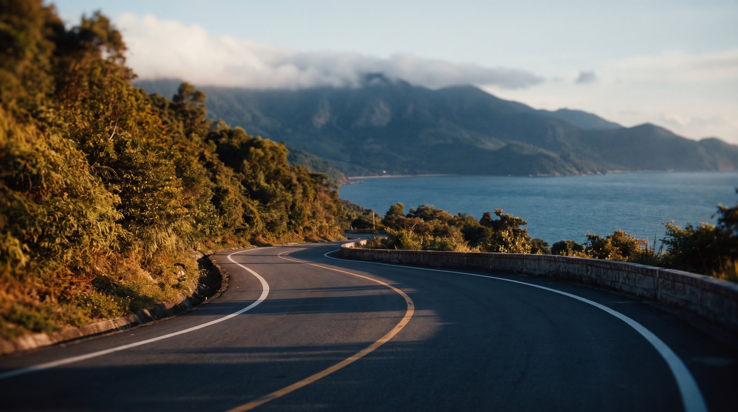
Hai Van Pass
Empty hairpins above the clouds, the coast on one side, jungle on the other.
17.9 km over the pass
What to ride
Three classes of machine actually rented in Da Nang. Each shows the model offered by the most rental shops - the one you are most likely to find free.
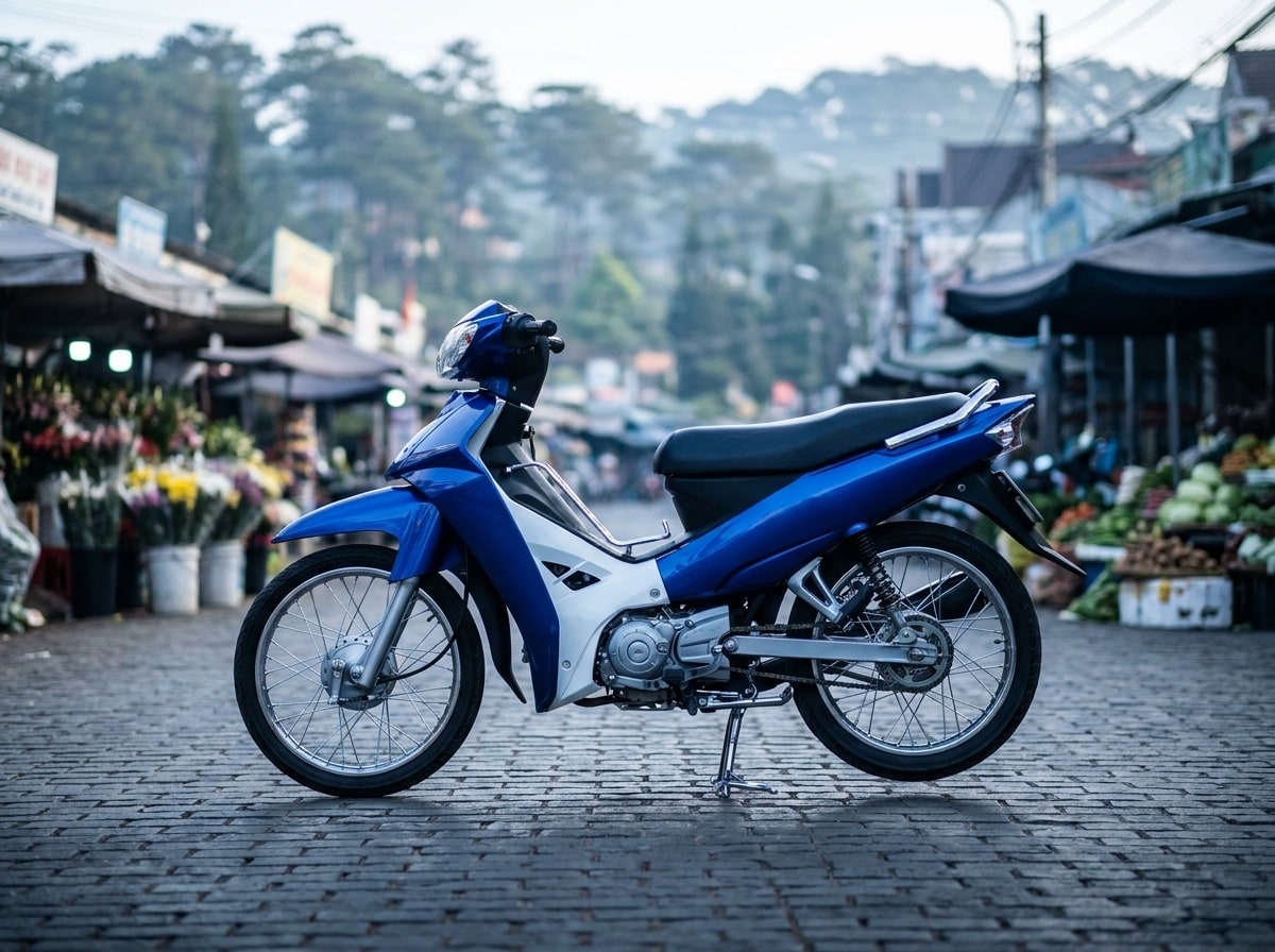
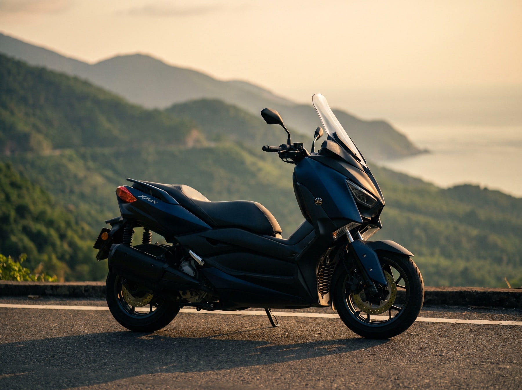
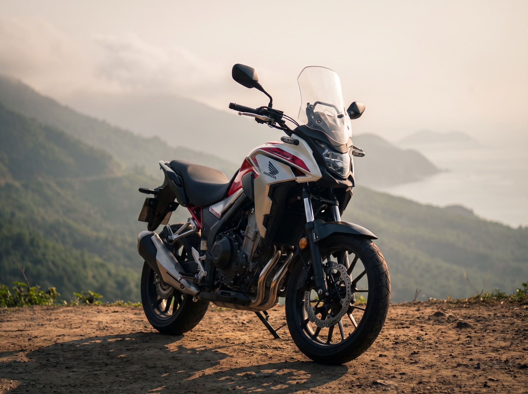
The road covers 478 m between its lowest and highest points. Nothing extreme, but engine size does make itself felt on a road like this.
What the road is like
From Da Nang the road climbs for 7.2 km and gains 373 m to the 479 m high point. Then 10.8 km of descent and 477 m down, at an average 4.4%. There is no straightening it out: 17.9 km of road cover 10.4 km in a straight line, and 15 turns sharper than 60° come one after another.
Measured 2026-09-05 from OpenStreetMap contributors (ODbL) and SRTM elevation data.
Where to stop
Places marked on OpenStreetMap by people who have been there. The numbers match the diagram and the elevation profile above.
- 1Numerous War Bunkers and Gun Placementsviewpoint · 2.9 km from the start of the pass99 m off the road
- 2Hai Van Passlandmark · 7.2 km from the start of the passright by the road
- 3Van Hoi Passviewpoint · 10.7 km from the start of the passright by the road
- 4Lang Co Lagoonviewpoint · 16.2 km from the start of the pass55 m off the road
Know before you go
Motorbikes are not allowed in the Hai Van tunnel. The pass is the only way across on two wheels - there is no shortcut in bad weather.
Tunnel traffic rules
There is no fuel station on the pass itself. The nearest ones sit at the foot on either side - fill up before you start the climb.
OpenStreetMap data, may be incomplete
When to ride
The pass runs along a ridge by the sea, so its weather is the coast’s weather. Here the dry and wet seasons differ not slightly, but by tens of times.
Monthly rainfall in mm. October gets 628 mm — 27 times more than February with its 24 mm.
Long-term monthly averages for Da Nang, Vietnam Institute for Building Science and Technology.
Where to get one in Da Nang
More about the road
Photos: after Steffen Schmitz (CC BY-SA 4.0), Wikimedia Commons.