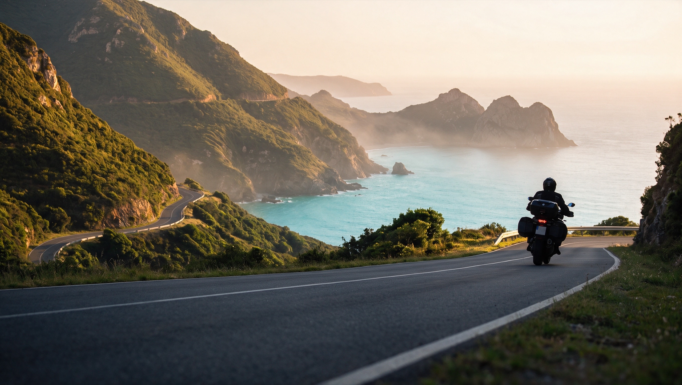
Where to ride in Da Nang: the pass, the peninsula, and the road to Hoi An
Da Nang rides three different ways: a mountain pass north of the city, a peninsula road right next to it, and a flat run of coast south towards Hoi An - all three measured, plus the live rental fleet, two real guided tours, and rainfall by month.
Fact-checked: September 7, 2026
Live rental prices, and every bike shows whether it needs a licence
Browse bikesWhy Da Nang rides differently
Da Nang sits between mountains to the west and the South China Sea to the east, and it borders Hue across the Hai Van Pass right at its northern edge. The same coast holds the Son Tra Peninsula a short way from the centre and a flat run of beaches heading south towards Hoi An. Three different roads, and all three start inside the city limits.
Three measured routes
North of the city, the Hai Van Pass climbs 17.The top of the Hai Van Pass is 479 m above the coast; we have no weather data for the summit itself, only the altitude.
The Son Tra Peninsula road runs 12.4 km along the coast, climbing to a summit of 127 m with 2 turns sharper than 60 degrees. There is no fuel station on the peninsula either. The ring around the mountain does not close in ordinary asphalt: past its eastern end, the map marks an unlit concrete section that is open to motorbikes.
South towards Hoi An, the beach road runs 18.5 km, almost flat, with 1 turn sharper than 60 degrees and a 60 km/h limit along the whole distance. It does not reach the old town directly: from its southern end, the Japanese Bridge in Hoi An is another 5.8 km away in a straight line, along ordinary streets.
What is actually for rent in Da Nang right now
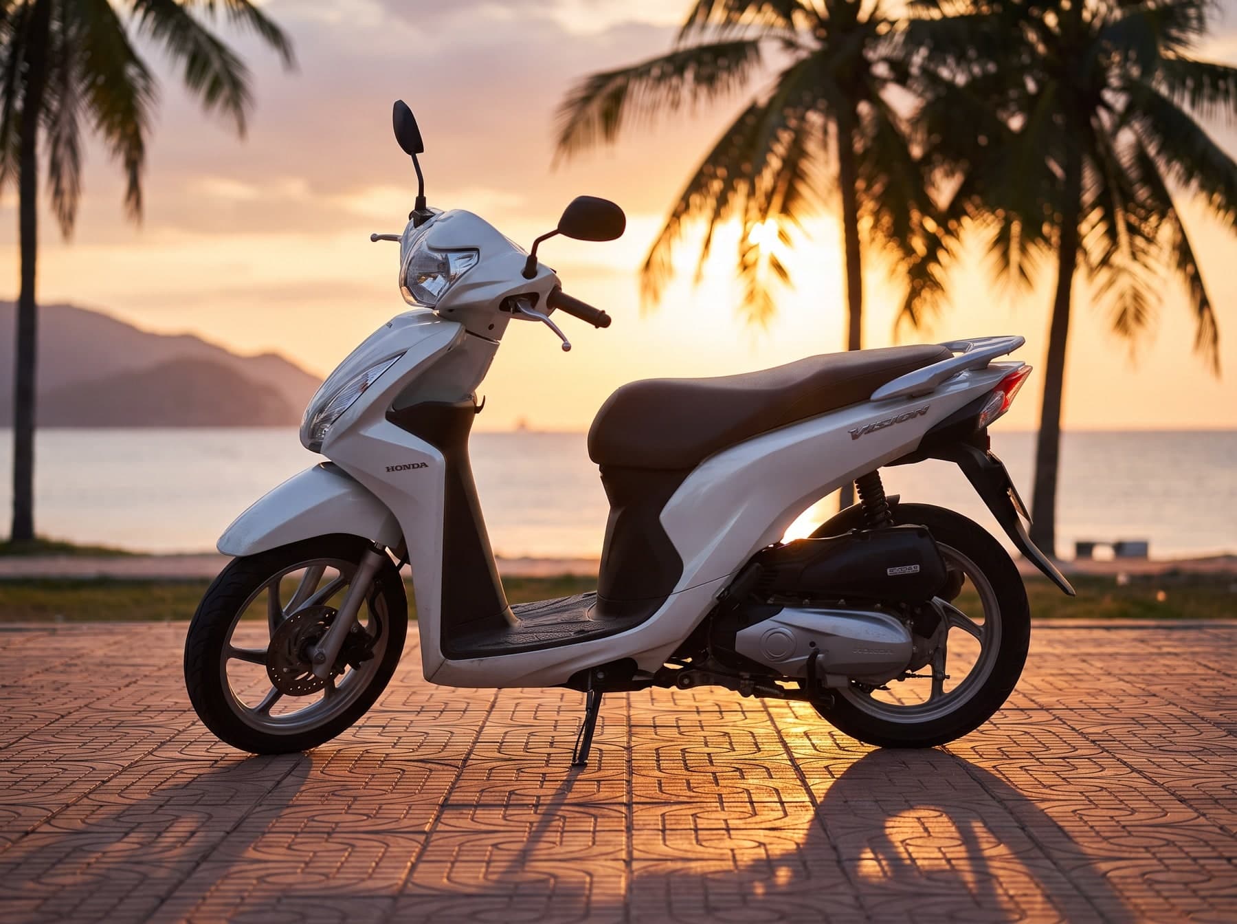
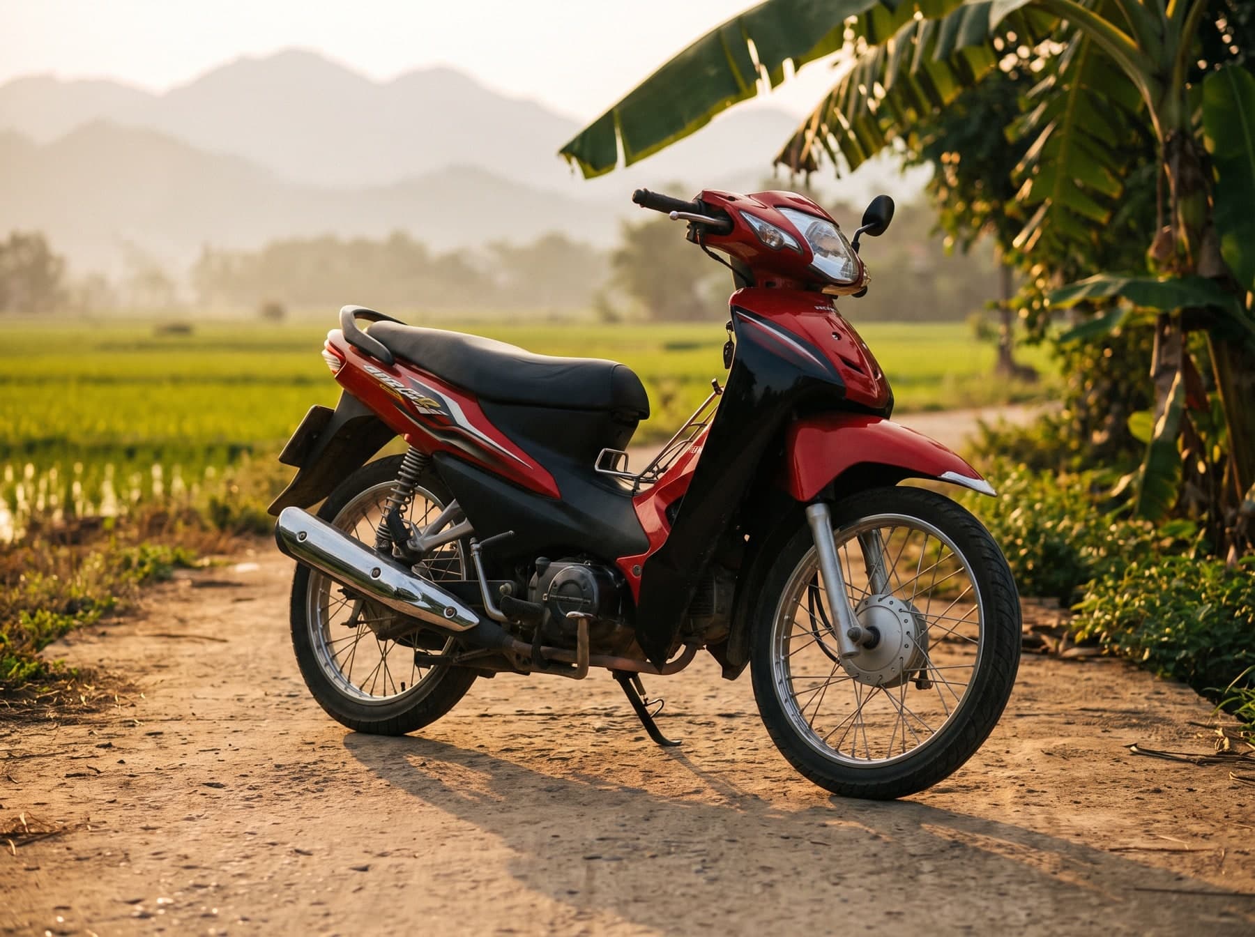
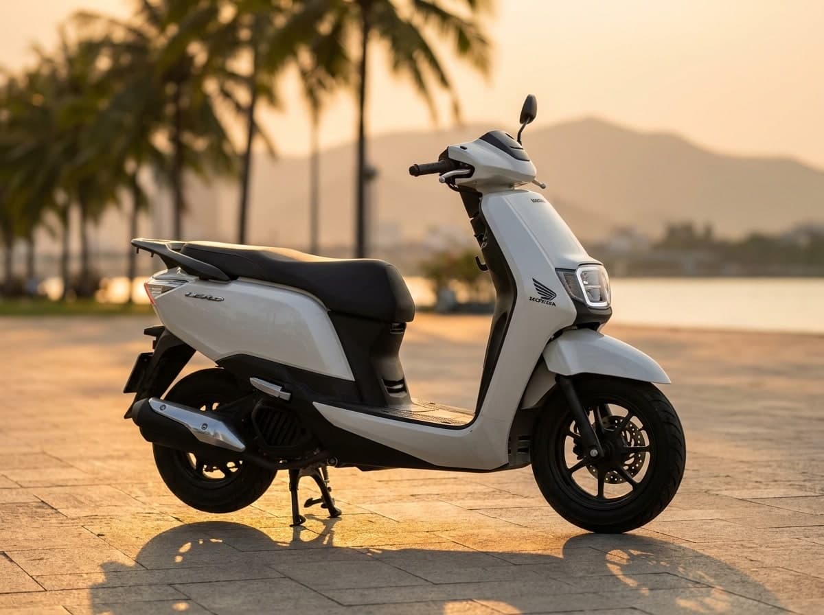
The Da Nang rental fleet on this site is live - the list below updates from the catalogue rather than being rewritten by hand. The classes that come up most often here: the Honda Winner X 150 among light motorcycles, the Yamaha XMAX 300 among maxi-scooters, and the Honda CB500X among big road bikes. Prices and how many of each are listed are in the cards below - they change, which is exactly why we do not print them here.
Guided tours already running here
Da Nang already has real guided tours on this site, not a placeholder: two enduro tours, an easier and a harder one, run by the operator MOTO mind. Both are shown below with whatever is currently published for them.


When to go, by the rain
Rain in Da Nang follows a sharp yearly curve: February and March average around 24 mm each, while October alone (628 mm) brings more than January through June put together (about 330 mm). September through December carries most of the year total between them.
Documents and fines before you ride
None of the above changes what you need before renting: a licence Vietnam actually recognises and insurance that still applies if something goes wrong - both covered in the licence and insurance guide. What you can actually be fined for, with the numbers behind Decree 168/2024, is in the traffic fines guide. What a Da Nang rental can ask you to leave as security, and why a passport should not be it, is in the deposits and documents guide, and what a fair daily rate looks like across the country is in the rental prices guide.
What to actually pack
Rain is the variable that matters here, not altitude: with September through December carrying most of the year total and October alone outrunning six dry months combined, a rain layer earns its place in the bag well before the coast looks like it needs one. The Hai Van summit sits at 479 m, higher than the coast below it, but we have no weather data recorded for the summit itself - only its height, which is not the same thing as knowing what it does up there.
Every bike on EastRide shows whether it needs a licence.
Browse bikes of Vietnam