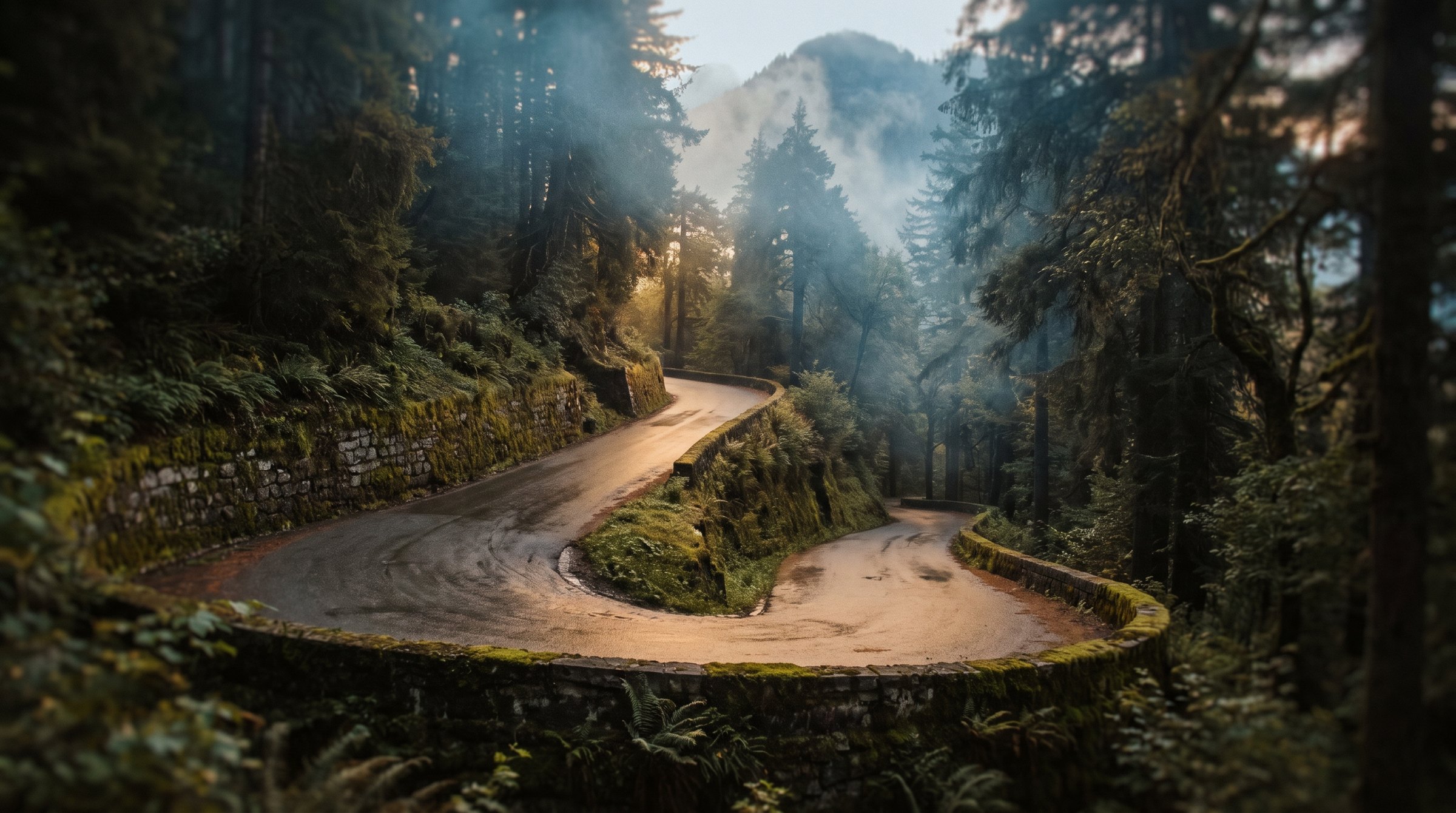
Hon Ba mountain road
Thirty-three kilometres of climbing from near sea level to 1,545 m - eighty-seven hard turns and not a metre of descent.
33.3 km up the mountain
What to ride
Three classes of machine actually rented in Nha Trang. Each shows the model offered by the most rental shops - the one you are most likely to find free.
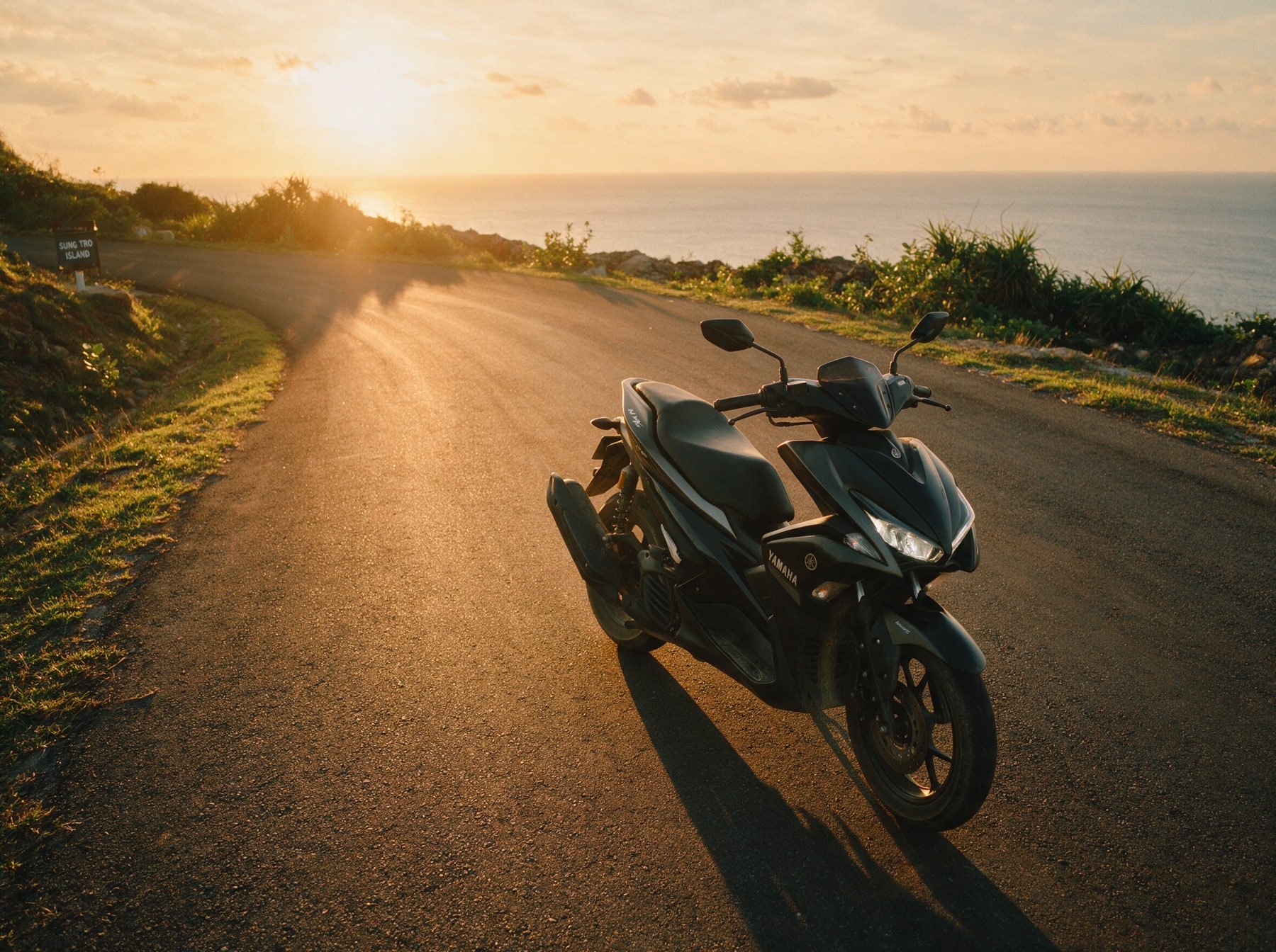
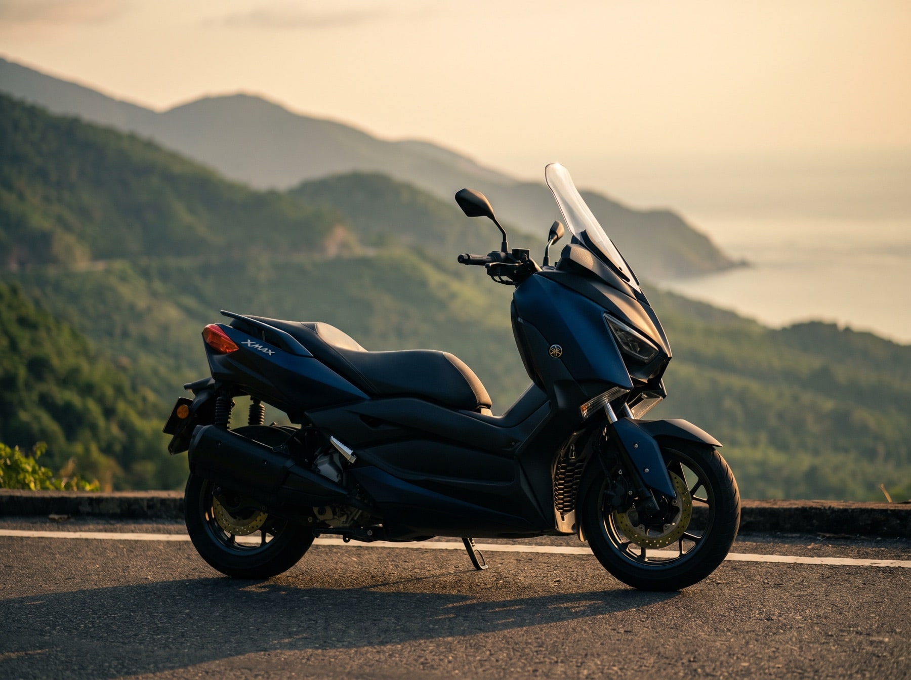

The road covers 1496 m between its lowest and highest points. Nothing extreme, but engine size does make itself felt on a road like this.
What the road is like
From the Nha Trang side the road climbs for 33.3 km and gains 1496 m to the 1545 m high point. There is no straightening it out: 33.3 km of road cover 13.5 km in a straight line, and 87 turns sharper than 60° come one after another.
Measured 2026-09-07 from OpenStreetMap contributors (ODbL) and SRTM elevation data.
Where to stop
Places marked on OpenStreetMap by people who have been there. The numbers match the diagram and the elevation profile above.
- 1Dr. Alexandre Yersin's workplacelandmark · 32.3 km from the start of the road69 m off the road
Know before you go
The road climbs 1,496 m without a single descent and ends at the top: everything you ride up, you ride back down the same way. The surface is not recorded on the map at all - treat that as unknown, not as asphalt.
OpenStreetMap tags and SRTM profile
The nearest fuel station is 2.4 km from the road, at the bottom. Thirty-three kilometres up and the same back is the whole tank plan.
OpenStreetMap data, may be incomplete
When to ride
The bottom of the road is Nha Trang weather: an almost dry first half of the year, then October and November bringing over 300 mm each. The top sits 1,500 m higher, and the same rain up there is cloud.
Monthly rainfall in mm. November gets 332 mm — 21 times more than February with its 16 mm.
Long-term monthly averages for Nha Trang (the foot of the road), Vietnam Institute for Building Science and Technology.