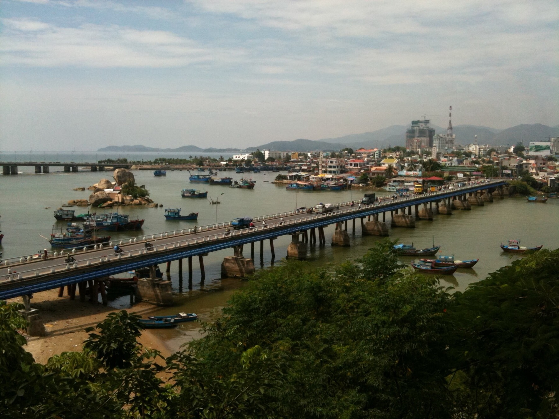
Photo: Dragfyre, CC BY-SA 3.0, Wikimedia Commons
Where to ride in Nha Trang: the coast, the fleet, and the road up Hon Ba
Nha Trang rides flat along the coast and only climbs on one measured road, Hon Ba. What is actually in the rental fleet right now, the numbers on that climb, and what is honestly still missing here - guided tours.
Fact-checked: September 7, 2026
Live rental prices, and every bike shows whether it needs a licence
Browse bikesWhy Nha Trang rides differently
Nha Trang sits on a bay closed off on three sides by mountains, with a scatter of islands in front of the city on the fourth - the shape that keeps major storms out of the bay. That same geography sets up the one route measured on this site so far: a flat coastal city with mountains starting directly behind it.
What is actually for rent in Nha Trang right now
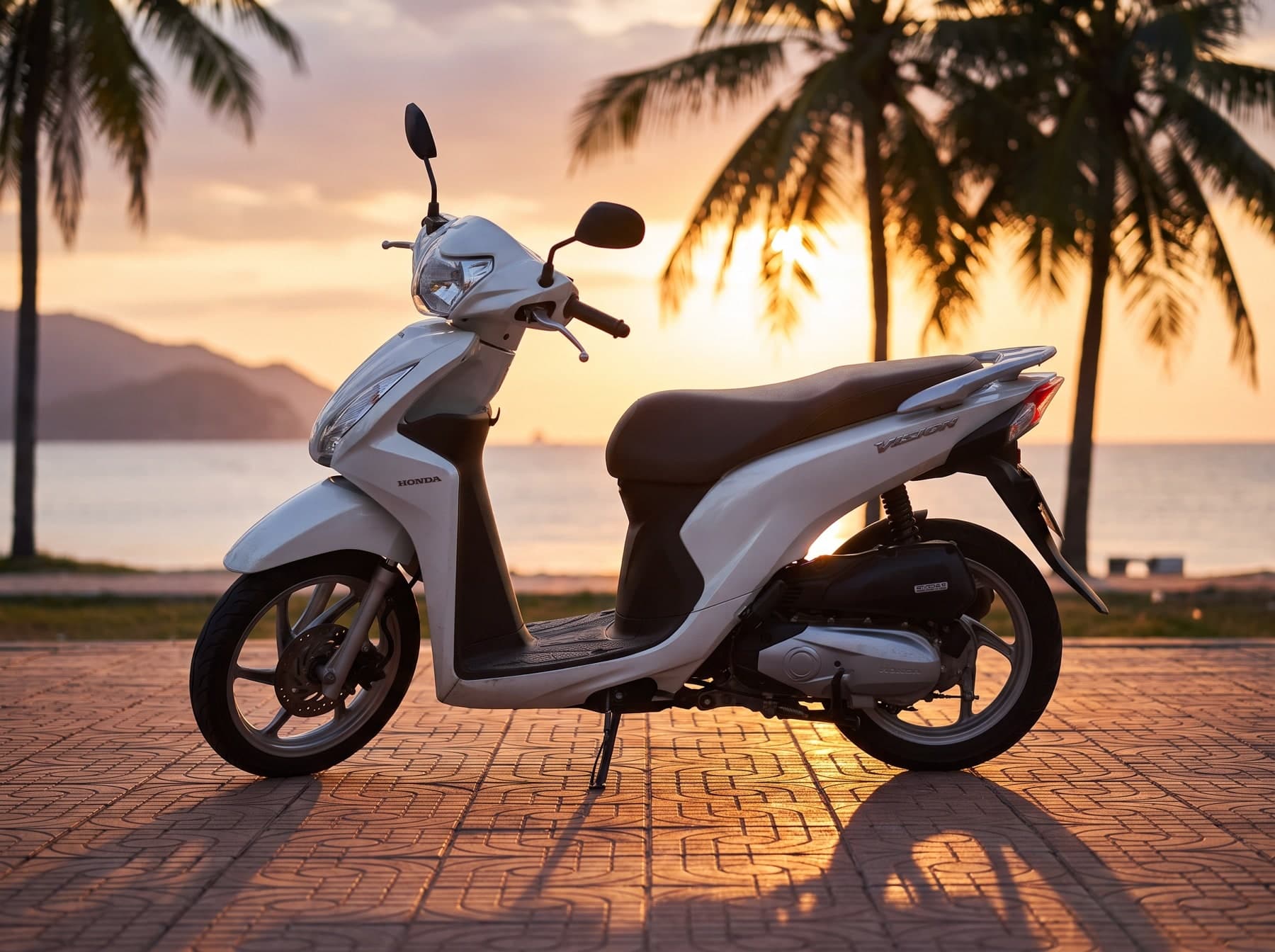
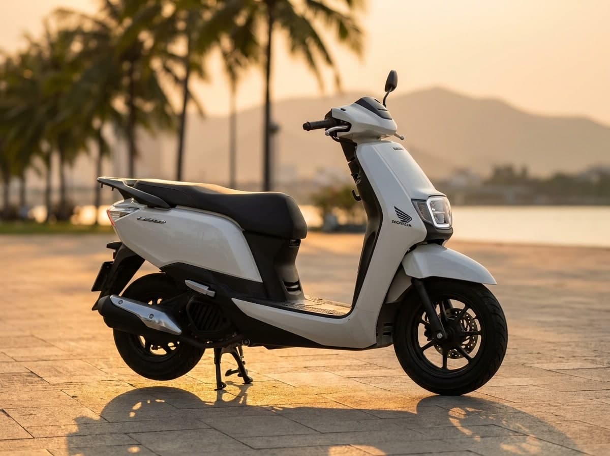
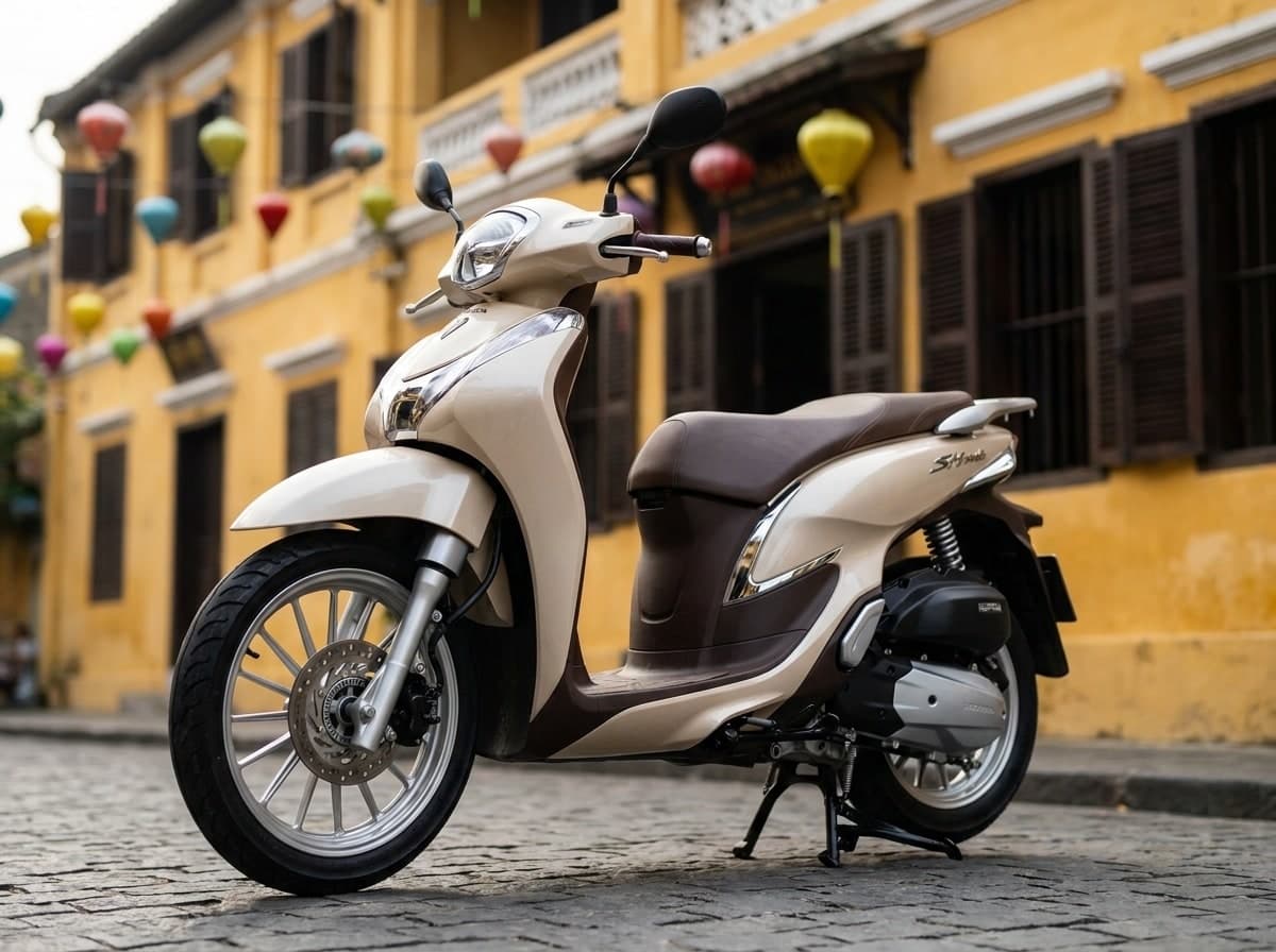
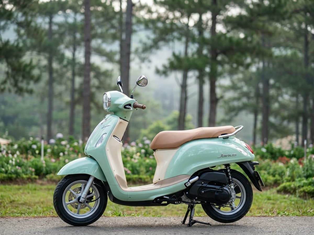
The Nha Trang rental fleet on this site is live - the list below updates from the catalogue rather than being rewritten by hand. By class: city scooters of 150-160 cc, light motorcycles up to 300 cc and big road bikes, plus enduros and maxi-scooters. Prices and the number of offers in each class are in the cards below; they change, which is exactly why we do not print them here.
The Hon Ba road, in numbers
The Hon Ba road is the one route here we have actually measured: 33.3 km, a climb of 1,496 m without a single descent, ending at a summit of 1,545 m, with 87 turns sharper than 60 degrees. The surface itself is not recorded in OpenStreetMap at all - that counts as unknown, not as asphalt. The nearest fuel station is 2.4 km from the road, at the bottom, so the tank has to cover thirty-three kilometres up and the same distance back down the same road.
At the top, the map marks Dr. Alexandre Yersin's workplace. Yersin, a French-Swiss physician who lived in Nha Trang for fifty years until his death there in 1943, opened an agricultural station on Hon Ba in 1915 to grow the cinchona tree used to make quinine against malaria.
When to go, by the rain
Rain in Nha Trang follows a sharp yearly curve: the first half of the year runs close to dry, with February averaging just 16 mm, while October (302 mm), November (332 mm) and December (153 mm) carry most of the year's total between them. The Hon Ba road sits in the same pattern at its foot; 1,500 m higher, at the summit, that same rain arrives as cloud rather than a shower you can wait out.
Documents and fines before you ride
None of the above changes what you need before renting: a licence Vietnam actually recognises and insurance that still applies if something goes wrong - both covered in the licence and insurance guide. What you can actually be fined for, with the numbers behind Decree 168/2024, is in the traffic fines guide. What a Nha Trang rental can ask you to leave as security, and why a passport should not be it, is in the deposits and documents guide, and what a fair daily rate looks like across the country is in the rental prices guide.
What is not here yet: guided tours
Nha Trang has no guided tours or tour operators listed on our site yet. Everything above is self-guided: our own rental catalogue, and the Hon Ba road measured for you to plan around rather than a route someone else has ridden and written up.
What to actually pack
Nothing on the coast here calls for extra layers, but the Hon Ba climb is the exception: at 1,545 m it is cooler than by the sea - that follows from the altitude, not from our measurements; we have no weather data for the summit. A light layer that packs small closes that gap without changing anything about what you wear on the coast
Every bike on EastRide shows whether it needs a licence.
Browse bikes of Vietnam